Geospatial Solutions
FreemanGIS provides professional geographic information system (GIS) services that enhance environmental understanding. Our clients rely on us for clear and insightful advice to leverage geospatial data for their specific business interests. Our services include:
ü Needs assessment and requirements gathering
ü Conceptual software design and development
ü Project planning and management
ü Geospatial data analysis and interpretation
ü Database design and implementation
ü Data conversion and compilation
ü Publication quality maps and displays
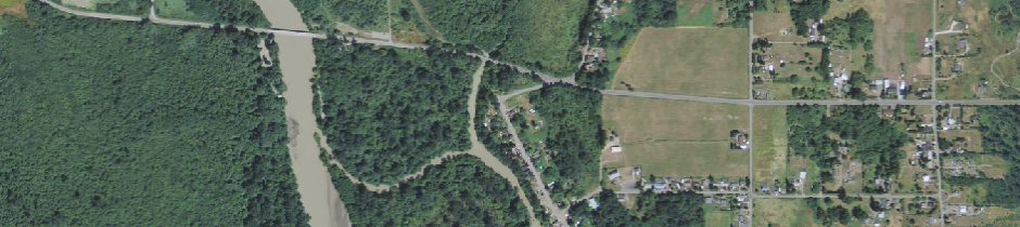
High Consequence Area Expertise
FreemanGIS helped formulate the unusually sensitive area (USA) definition for ecological and drinking water resources. USAs are integral to USDOT pipeline safety rules that ensure implemented protection for pipelines that could affect high consequence areas (populated areas, commercially navigable waterways, sensitive species habitats, public drinking water sources, and certain coastal waters). Click here to see our related services.