Software Design and Development
Customized Mapping System
FreemanGIS guided the needs assessment, requirements gathering, and software design for an ArcGIS Server intranet mapping system that provides a visual representation of a natural gas operator’s key assets in relation to competitor and producer assets and topographic features (township/range/section, roads, streams, etc.). The secure online system integrates data such as gas contracts, well intents, and well measurement and performance statistics in a point and click interactive map environment. The application is designed to be used by commercial gas buyers with a layman knowledge of GIS. Information can be filtered as needed, captured in personal notes to convey ideas to field personnel, and summarized in reports for upper management.
Customized Reporting System
FreemanGIS played an integral role in the design and development of a leak reporting tool for a natural gas operator. The tool feeds real time field-captured data about the leak upon its discovery and inspection into the operator’s customized PODS application. Causes, inspections, repairs, maintenance, and release consequences are tracked and monitored by field supervisors. The information can be filtered as needed for internal company reports or auto-generated federal incident, semi-annual, and annual Gas Integrity Management Reports.
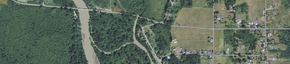
Customized Geospatial Modeling System
FreemanGIS designed and managed the development of an overland flow spill model that traces the movement of contaminants through surface water and across terrain. The model calculates the draindown volume at spill points along the pipe and considers slope, soil infiltration, surface adhesion, and stream velocity when tracing product downslope and downstream. Built as an extension to ArcMap, users can view spill plumes in relation to other topographic features and highlight sections of the pipe where plumes could potentially affect hazardous liquid high consequence areas (HCAs). Spill plumes and HCA could-affect pipe segments can be saved to shapefiles for manual editing or use with other mapping software.