Pipeline Integrity Management Solutions
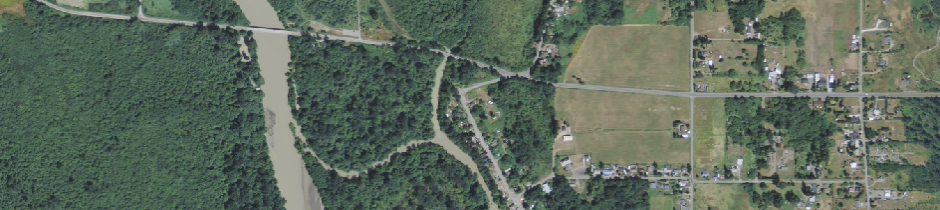
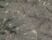
 NPMS Other Populated Area covering miles of uninhabited wetland
High Consequence Areas:
NPMS Validation and
Operator-Identified
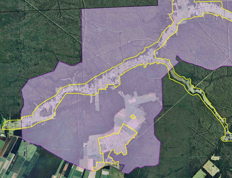
After 20 years, HCAs on the National Pipeline Mapping System (NPMS) have finally been updated. The changes are dramatic due to improvements in field mapping and GIS techniques.
We help operators identify HCA changes within pipeline corridors as well as understand the current nature of their could affect HCAs. Answering questions such as: What is the sensitive resource? Does it still exist? Has it moved? Is it still considered an HCA? Please check out our Representative Projects.
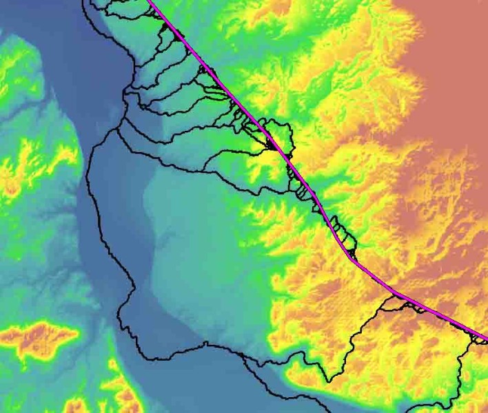 Downslope trace from a pipeline
Segment Identification and Spill Modeling
Our practical approach to HCA Segment Identification is time tested and cost effective. We have experience modeling spills via every transport mechanism: air dispersion, overland flow, subsurface (groundwater) migration, and downstream flow.
Our latest product, the Overland Flow Spill Model, gives your GIS personnel control to trace spills over land and downstream. Putting the process and results directly into your hands!
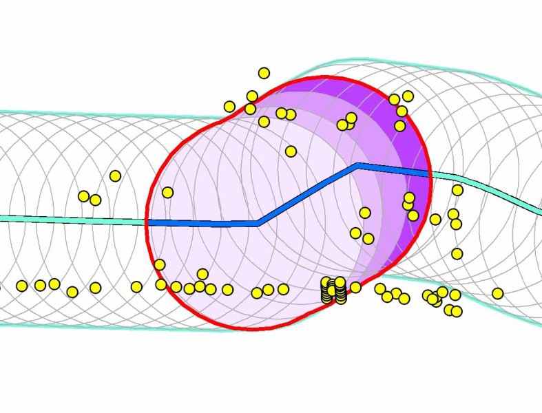 A covered segment. Its HCA is identified by potential impact circles with 20 or more buildings intended for human occupancy
Gas HCAs and Class Locations
Natural gas high consequence areas (HCAs), moderate consequence areas (MCAs), and class locations identify population density along a pipeline, which is a key factor in the development and implementation of mandated pipeline integrity management programs.
FreemanGIS has developed geospatial routines to identify HCAs, MCAs, and class locations along natural gas pipelines. Our straight-forward approach applies the definitions in pipeline safety regulations (USDOT 49 CFR 192.903, 192.3, and 192.5) in an effective, sound, and repeatable manner.
 Pipeline right-of-ways
Pipeline Mapping System Submittals (NPMS/TPMS) and
One Call Notification Areas
Well-versed in air photo interpretation, we leverage current orthoimagery and GPS pipe locations to digitize centerlines for submission to the National and Texas Pipeline Mapping Systems (NPMS and TPMS).
We map One Call Notification Areas with special attention to where people live in relation to the pipeline. Distinguishing between urban and rural buffer zones focuses operator response on areas most susceptible to third-party damage.