Gas HCAs and Class Locations
FreemanGIS has developed GIS methodologies that consistently identify gas HCAs and class location units as defined by the pipeline safety rules 49 CFR 192.761 and 49 CFR 192.5. These routines have been successful in meeting the integrity risk assessment needs of gas transmission operators.
Some representative projects are:
Gas HCA Identification
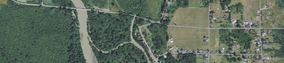
FreemanGIS identified HCAs for a proposed gas transmission system by implementing Method 2 using ArcGIS. Man-made structures and areas of human activity around the proposed route were digitized into a GIS database from orthorectified air photos. The sites were attributed with contact names and numbers to assist field verification. Centroids for potential impact circles (PICs) were programmatically generated at a set interval along the proposed centerline. Each centroid was buffered to the potential impact radius, thus effectively creating overlapping PICs that roll along the centerline in the direction of product flow. Covered segments were identified as pipe that intersected identified sites or PICs containing 20 or more buildings intended for human occupancy. The software routine generated spreadsheets describing the length, HCA type, start/end mile markers and latitude/longitude coordinates for each covered segment of the proposed line.
Classifying Pipeline Locations
FreemanGIS developed a linear referencing tool to identify class locations along natural gas pipelines. The tool dynamically segments the centerline into class location units (CLUs) and collocates multi-story buildings, identified sites, and dwellings to the nearest mile marker. An iterative routine counts dwellings in each CLU as it slides down the pipe. Line segments are prioritized by their highest class and lengths are adjusted to match site cluster perimeters. This tool is routinely used to help operators determine the maximum allowable operating pressure for gas pipelines.